
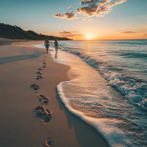
Best Beach Walks & Coastal Hikes in Australia
The Best Beach Walks and Coastal Hikes in Australia
Some of the finest walking in Australia happens at the coast. Clifftop tracks with ocean views, beach-hopping coastal paths, and multi-day wilderness routes through national parks — the variety is extraordinary, and the combination of scenery, air, and physical challenge makes coastal walking one of the most rewarding ways to experience the Australian coastline.
Here's a guide to the best of them, from short beach walks to serious multi-day expeditions.
New South Wales
Bondi to Coogee Coastal Walk, Sydney
Distance: 6 km one way | Time: 1.5–2 hours | Grade: Easy
The most walked coastal path in Australia, and one of the best urban coastal walks anywhere in the world. The track follows the clifftop south from Bondi Beach through Tamarama, Bronte, Clovelly, and Gordon's Bay before ending at Coogee. The combination of swimming beaches, ocean pools, cliff views, and the ever-present Pacific makes it endlessly satisfying.
The Waverley Cemetery section — where the path passes through a historic clifftop cemetery with headstones facing the ocean — is one of the more atmospheric stretches of any coastal walk in the country.
Start/finish: Bondi Beach to Coogee Beach (or reverse). Return by bus.
Coast Track, Royal National Park
Distance: 26 km one way | Time: 2 days | Grade: Moderate
Australia's oldest national park contains one of its best overnight coastal walks. The Coast Track runs from Bundeena in the north to Otford in the south (or reverse), passing through heathland, past waterfalls, and along clifftops above some of the most secluded beaches in the Sydney basin.
Burning Palms and Era Beach — accessible only by walking — are the highlights. Basic camping at North Era and Burning Palms is essential to the two-day experience. Water sources are limited; carry enough.
Permits: Required for camping; book through NSW National Parks.
Cape to Cape Walk, Byron Bay Area
Distance: Various sections | Time: 1–3 hours per section | Grade: Easy to moderate
The Cape Byron walking track — a 3.7 km loop around the Cape Byron headland — is the centrepiece, but the broader network of coastal and hinterland tracks in the area extends the walking significantly. The lighthouse walk gives the most dramatic views; the Wategos to The Pass connector is a beautiful shorter option.
Queensland
Noosa National Park Coastal Track
Distance: 10 km return | Time: 2.5–3 hours | Grade: Easy to moderate
The track through the Noosa National Park headland connects a series of beaches and coves — Tea Tree Bay, Granite Bay, Alexandria Bay — with clifftop sections above rocky headlands. Koalas are a regular sighting in the eucalypts; dolphins are visible from the clifftops on most mornings. One of the best short coastal walks in Queensland.
The Scenic Rim and Lamington, Gold Coast Hinterland
Distance: Various | Time: Half day to multi-day | Grade: Moderate to hard
Not strictly a coastal walk, but the hinterland escarpment walks with ocean views back to the coast qualify. The Border Track in Lamington National Park — a 21 km track connecting the Green Mountains and Binna Burra sections of the park — has sections with views to the Gold Coast beaches below. An extraordinary contrast of rainforest and distant ocean.
Victoria
Great Ocean Walk
Distance: 104 km one way | Time: 6–8 days | Grade: Moderate
One of Australia's premier long-distance coastal walks. The Great Ocean Walk runs from Apollo Bay to the Twelve Apostles, following the clifftops, beaches, and river valleys of the Otway Ranges and Port Campbell National Park along the way.
Day sections are available for those not doing the full route — the stretch from Johanna Beach to Lavers Hill and the final section approaching the Twelve Apostles are among the most dramatic. Guided walks with accommodation (rather than camping) are offered by several operators for those who want the scenery without the logistics.
Permits: Required for camping on the trail.
Wilsons Promontory — Southern Circuit
Distance: 45 km loop | Time: 3–4 days | Grade: Moderate to hard
The southern tip of mainland Australia has some of the finest coastal walking in Victoria. The Southern Circuit combines the Sealers Cove Track, the Lighthouse Track, and the return through Waterloo Bay — passing through beaches, rainforest gullies, and granite headlands.
The lighthouse keeper's cottages at South Point are available as accommodation for those who book well in advance — waking up at the southernmost point of mainland Australia with the Bass Strait in every direction is an experience worth planning around.
Permits: Required for camping and lighthouse accommodation; book through Parks Victoria.
Mornington Peninsula — Point Nepean Walk
Distance: 10 km one way | Time: 3–4 hours one way | Grade: Easy
The Point Nepean National Park at the tip of the Mornington Peninsula is accessible by shuttle bus (limited) or on foot. The walk to the very tip of the Peninsula — past decommissioned military fortifications and through coastal scrub — ends at a dramatic headland above the Rip, where the tidal surge between Port Phillip Bay and the ocean creates fast-moving, swirling water visible from above.
Western Australia
Cape to Cape Track, Margaret River Region
Distance: 123 km one way | Time: 5–8 days | Grade: Moderate
The Cape to Cape Track runs between Cape Naturaliste in the north and Cape Leeuwin in the south — two of WA's most dramatic headlands. The track passes through the Leeuwin-Naturaliste National Park, connecting beaches, limestone cliffs, and wildflower heath along the way.
The Margaret River wine region sits inland from the midpoint of the track — day hikers can easily combine sections of the walk with winery visits. The full route is best walked from May to October (outside of summer heat and fire risk).
Highlights: Wilyabrup sea cliffs, Hamelin Bay (stingrays in the shallows), Canal Rocks.
Bibbulmun Track — Coastal Section Near Albany
Distance: Various | Time: Day sections to multi-week | Grade: Moderate
The Bibbulmun Track runs nearly 1,000 km from Perth to Albany, with the southern coastal sections near Albany among the most scenic. The section around Conspicuous Cliff and Mandalay Beach offers clifftop walking above the Southern Ocean with dramatic wave action and remote beach access.
South Australia
Heysen Trail — Fleurieu Peninsula Coast
Distance: Various sections | Time: Day walks to multi-day | Grade: Moderate
The Heysen Trail — at 1,200 km one of the longest marked walking trails in Australia — includes coastal sections along the Fleurieu Peninsula south of Adelaide. The section between Cape Jervis and Victor Harbor passes through the Deep Creek Conservation Park with cliff top views and access to remote beaches.
Kangaroo Island Wilderness Trail
Distance: 61 km over 5 days | Time: 5 days | Grade: Moderate
A five-day guided or self-guided walk across the western section of Kangaroo Island through Flinders Chase National Park. The trail passes through regenerating bush (the western part of the island was severely affected by the 2019–20 fires) and ends at Remarkable Rocks above the Southern Ocean. Wildlife encounters — echidnas, kangaroos, sea lions — are part of the daily experience.
Tasmania
Three Capes Track
Distance: 46 km | Time: 4 days | Grade: Moderate
One of Australia's finest multi-day walks. The Three Capes Track begins with a ferry from Port Arthur and traverses the Tasman Peninsula coastline to three dramatic dolerite capes — Cape Raoul, Cape Pillar, and Cape Hauy — before ending at Fortescue Bay. The dolerite sea cliffs here are among the tallest in the Southern Hemisphere.
Purpose-built huts are spaced along the route with bedding, cooking facilities, and solar power — a significant step up from traditional camping. Numbers are strictly limited; booking well in advance is essential.
Permits: Book through Parks Tasmania. Books out months in advance.
Wineglass Bay and Hazards Beach Circuit, Freycinet
Distance: 12 km loop | Time: 4–5 hours | Grade: Moderate
The classic Freycinet circuit combines the saddle walk to Wineglass Bay (40 minutes each way) with a descent to the beach and a loop back via Hazards Beach and the isthmus. The full circuit gives you two very different beaches — Wineglass Bay's open, ocean-facing arc and the calmer, west-facing Hazards Beach — with the pink granite of the Hazards range above.
Note: The saddle walk to the Wineglass Bay lookout is one of the most photographed views in Australia. Arrive before 9am to avoid the crowds.
What to Carry on a Coastal Walk
Essentials for any coastal walk:
- More water than you think you need — coastal walking is exposed and often windier than you expect, which accelerates dehydration
- Sunscreen, hat, and sunglasses — clifftop and beach walking offers no shade
- A light waterproof layer — coastal weather changes quickly
- Snacks for energy across a long walk
- Fully charged phone with offline maps downloaded
For multi-day walks:
- A compact, lightweight sleeping system
- A camp kitchen with enough fuel
- Navigation tools beyond just a phone (batteries fail, screens crack)
- Blister prevention (broken in footwear, good socks, moleskin)
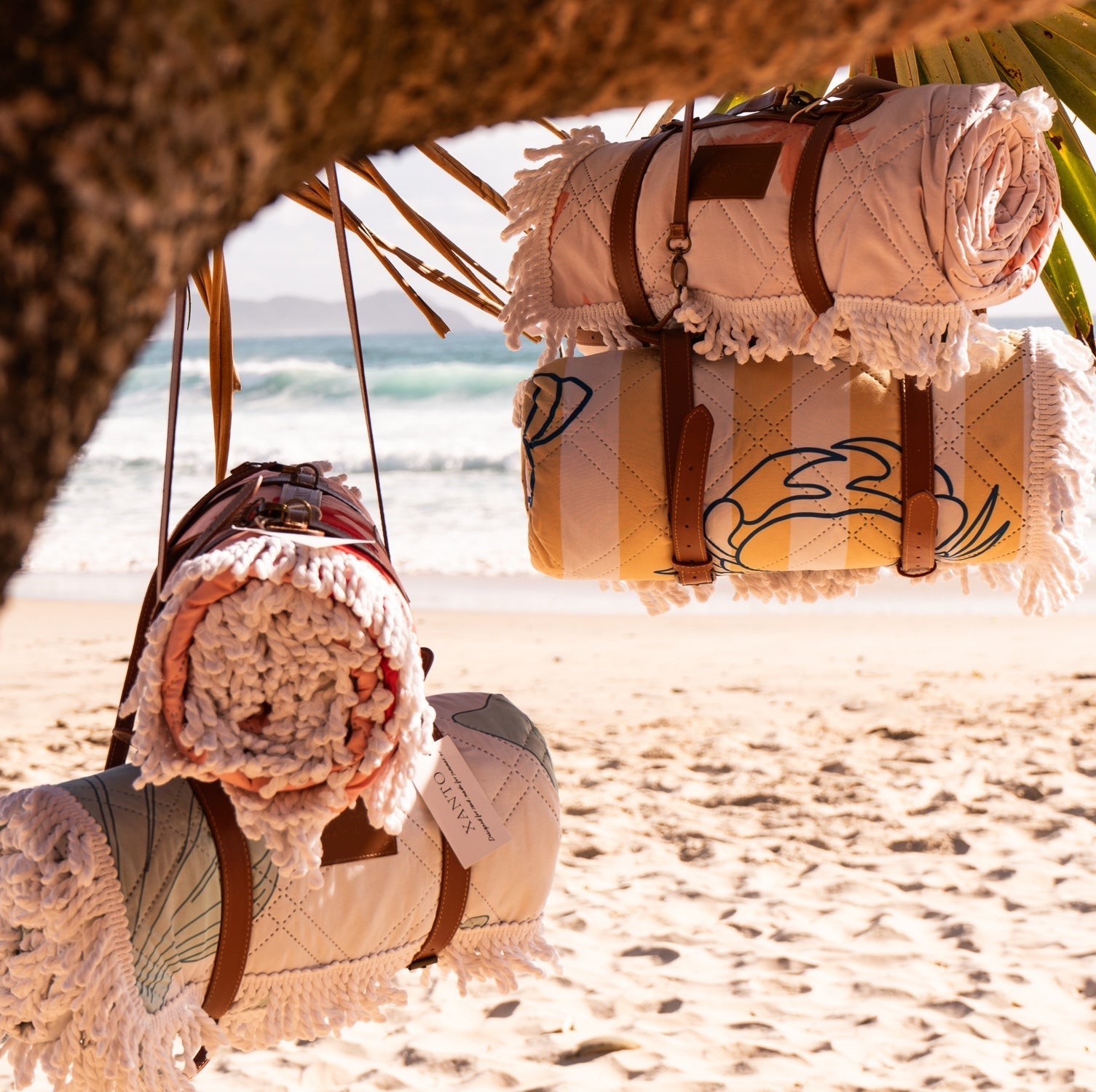
For beach sections: A compact sand-free beach blanket weighing under 600g fits easily in a daypack and gives you a clean, comfortable base at any beach the walk passes through. Worth the small weight for the reward of a proper rest stop at a remote beach midway through a long day.
Explore the full Xanto beach range at xanto.com.au.
Read more
How to take better photos at the beach — light, timing, composition, and gear tips for anyone who wants to come home with images that actually do the day justice.

How to find, book, and set up a beach campsite in Australia — gear, permits, etiquette, and the best beach camping destinations by state.